

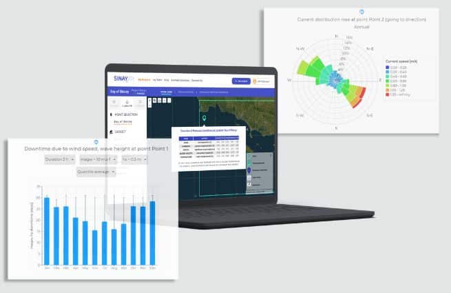

Discover Open Ocean , the only tool that helps you plan your offshore operations in advance using hindcast data.


The term “metocean” comes from the combination of meteorology and oceanography. Some weather, marine, environmental, and physical oceanography conditions affect some industries in various ways in their day-to-day business.
For marine sector stakeholders, knowing the environmental conditions supports faster strategic decision-making for maritime activities or projects. Harnessing high-quality metocean data may lead to designing tailored and efficient solutions against any challenges.
Various aspects are particularly useful in Metocean Analytics. A large selection of variables is then monitored to enable each industry or company to find personalized solutions or create a tailor-made strategy. Below is a list of the main parameters:
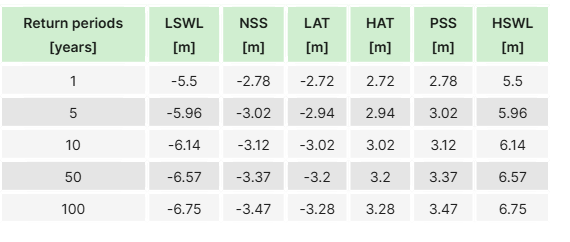
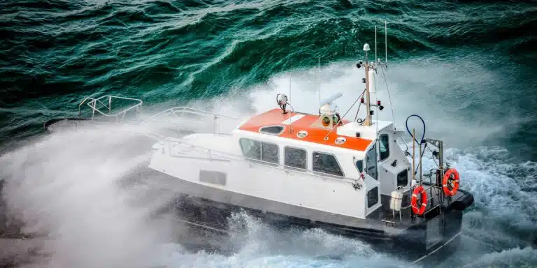
Meteorological and oceanographic data is acquired from various sources that are compiled for in-depth analysis:
Data collection and analysis are conducted under international standards like ISO as well as the industry’s best practices.
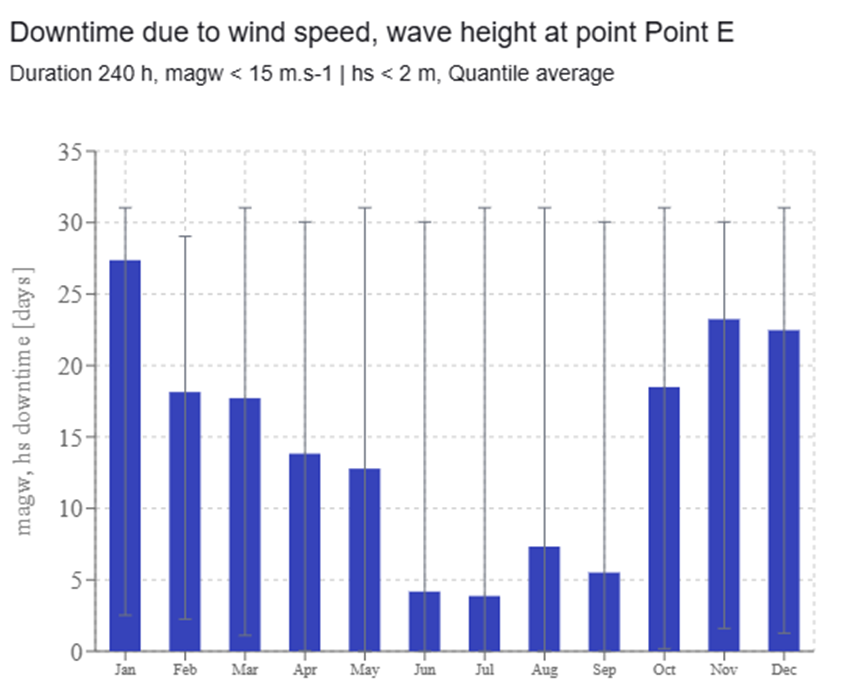
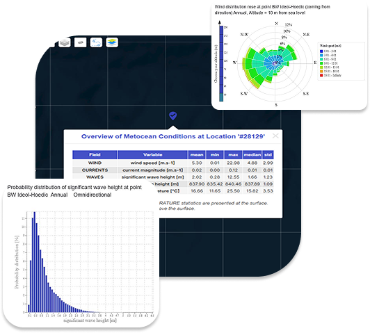
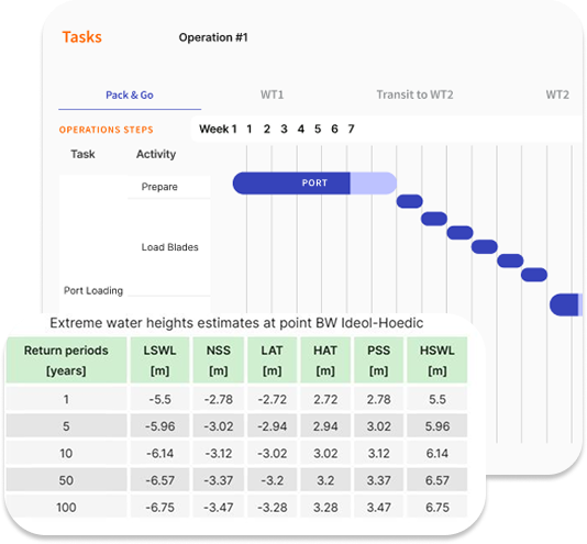
A large amount of raw metocean data is not very helpful. To be understandable and exploitable by most people, values must be standardized, sorted, and then presented as a history of spatial and temporal fluctuations or used in realistic numerical modeling to make predictions. For example, It is possible to:
A central dashboard allows easy reading of data and models.
On top of common benefits to all industries, metocean information has many applications that enable individual sectors to tackle major challenges they must struggle with.
For shipping lines
For port operators
For marine contractors
For oil and gas companies
For clean electricity producers
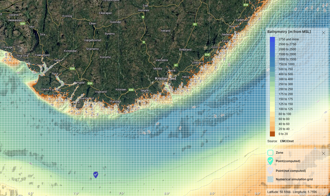
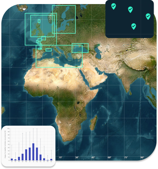
This list is non-exhaustive but shows how far it is possible to go with advanced met ocean analytics. Any of these companies can access complete and accurate data via their own daily tools, using an API for quick and smooth integration. Then, the users will only have to select a geographical area or a specific location anywhere on earth and a timeframe to get the required local datasets in different formats within minutes. The downscaling enables a high-resolution representation.
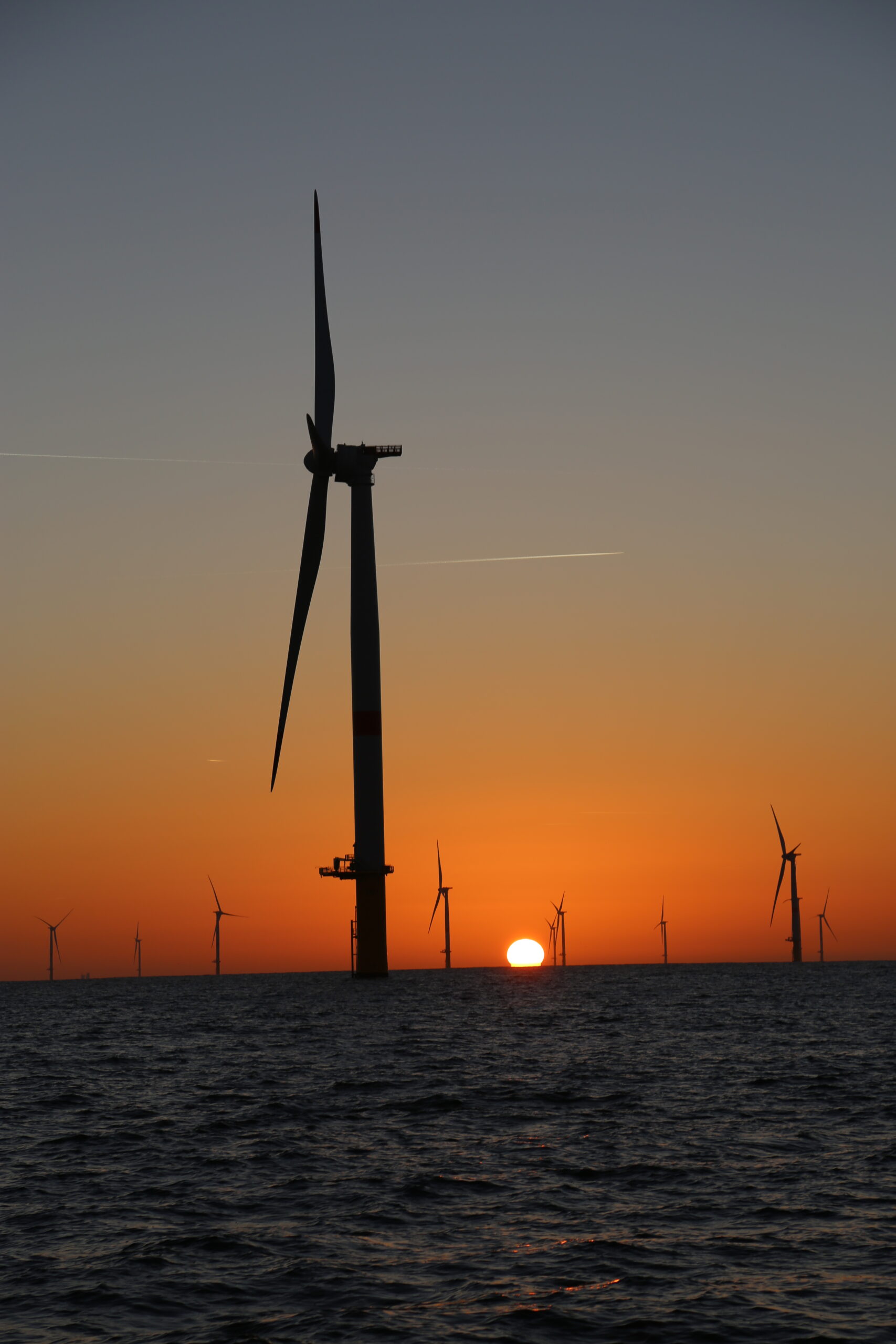
An offshore project is conducted in the open ocean, a few, or many kilometers from the coast. Here are a few examples:
Metocean analytics contribute to increased efficiency across all stages of any offshore or coastal project: feasibility study, planning, design, construction or installation, operation, maintenance, and removal. The aim is to always access reliable information, whether historical, real-time, or forecast, and take relevant decisions with a high degree of precision and significantly improve services.